In order to change the default settings of tracks, follow these operations:
•If you click on ‘Hint’ fields you will be able to determine what information will appear whenever you pose the pointer on any part of the track (without clicking anywhere). To do this, select the information you want from the left hand column (available fields) and click on the arrow pointing right. To remove an information field, mark it in the selected fields column and click on the arrow pointing left.
•If you activate the option paint arrows on the track the track will be marked with arrows indicating in which direction the track was made.
•There are three ways to represent the value of altitude within 'Altitude representation': draw the track with its own altitude, draw the track with its own altitude + projected one or projected track drawn on the floor.
•The user can set minimum difference to accumulate altitude, so under values won’t be taken into consideration. This function prevents mistaken climb datas.
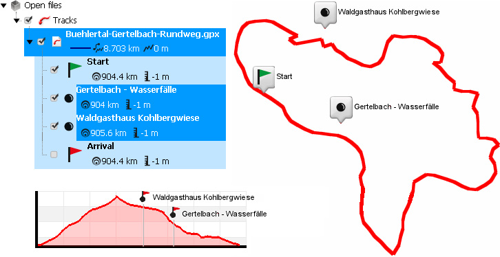
•‘Distance to assimilate waypoint': Fix the distance to consider a waypoint as 'near' the track. When a waypoint is near the track: It is displayed in track's graph and it can be dragged to track, automatically creating a new e-Roadbook point.

•It can be very interesting to set a minimum moving speed to avoid small movement errors during recording.
•Land/Air offers you two different template styles to print the track report.