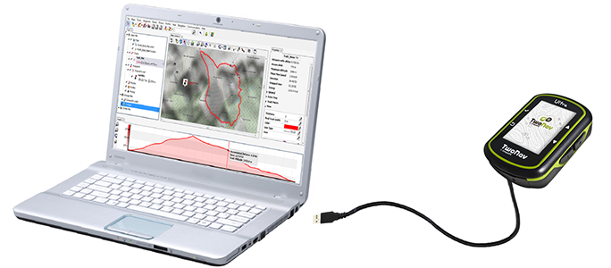
In addition to the defaut settings to detect your GPS device, you can also define advanced options that will be used once your GPS device has been found:
•GPS datum: In order to provide a proper representation in Land, set the datum used by the GPS device. Datums are used to translate the positions of elements (waypoints/routes/tracks) to the exact position on the earth. Datum systems are needed because the earth is an imperfect ellipsoid. Choose the most suitable datum for the map that are working with.
•GPS uses ellipsoidal altitudes: In order to provide a proper representation in Land, mark this option if ellipsoidal heights are being used by the GPS device.
•Use GPS bearing: Land will take bearing data provided by the connected GPS device.
|
|
|
|
•Separate tracks if downloaded in one file: If Land detects that you are downloading several tracks packed in a single file, the software will separte them once they are downloaded in the computer.
|
| ||||
|
|
|
|
|
|
•Delete stopped points at the beginning and at the end of track: Track will omit the repetitive points from the beginning and the end where you stopped be fore and after making the track.
|
| |
|
|
|