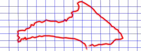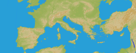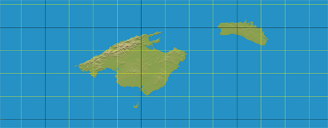
Land features a projection grid that may be useful while working with maps and editions:
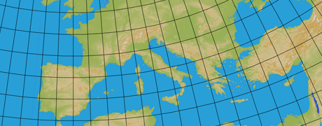
•View projection grid: Show/Hide UTM projection grid at map window.
|
|
|
•Color: Set the color line of the projection grid.
|
|
|
•Interval: Set the separation distance to create every new projection line in the grid.
|
|
|
•Show projection labels: Show/Hide all distance values in the projection grid.
|
|
|
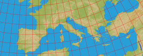
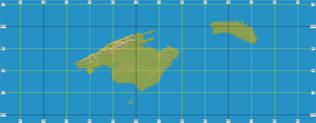
•View degrees grid: Show/Hide latitude/longitude projection grid at map window.
|
|
|
•Color for degrees: Set the color line of the degrees in the UTM grid.
|
|
|
•Color for minutes: Set the color line of the minutes in the UTM grid.
|
|
|
•Interval: Set the degrees of separation in UTM grid.
|
|
|
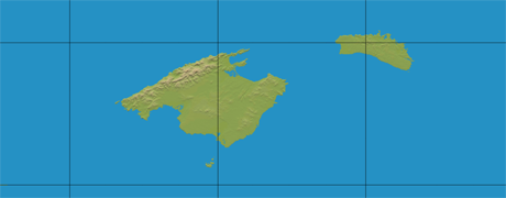
•Font size waypoints: Font size for all labels.
|
| |
|
|
|
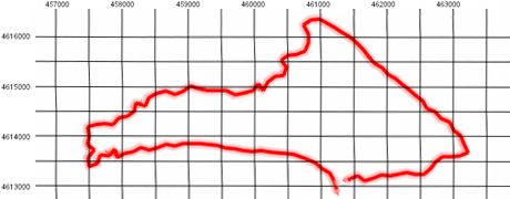
•Show Lat/Lon labels: Show/Hide all degrees values in the UTM grid.
|
|
|
•Use datum of the primary map: Land will use by default the datum of the map which has been set as primary.