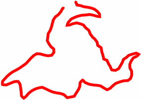
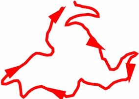
Tracks displayed at map window can be fully customized according to your needs:
•Draw arrows over the track: To easily know its direction.
|
| |
|
| |
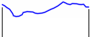
•Altitude representation: Set the way to represent the altitude value within 'Altitude representation':
•Draw tracks with its own altitude
•Draw tracks with true and projected altitide
•Draw tracks with projected altitude
•Minimum accumulated altitude: Fixes the minimum altitude to be considered increase of altitude. Altitudes under this value will not be considered increase.
|
| |||
|
Minimum accumulated altitude: 5 m |
Current altitude: 4.7 m |
à |
Increase considered: 0 m |
|
Current altitude: 5.2 m |
à |
Increase considered: 5.2 m | |
•Minimum moving speed: Set the minimum speed value to consider movement. Speeds under this value will not be considered movement. This value is set by you.
|
| |||
|
Minimum moving speed: 0.8 km/h |
Current speed: 0.5 km/h |
à |
Increase considered: 0 km/h |
|
Current speed: 1.4 km/h |
à |
Increase considered: 1.4 km/h | |
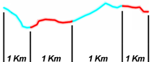
•Slope calculation distance: Used to calculate current ‘Slope’ data field.
|
| ||
|
|
|
|
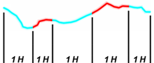
•Autolaps: Detailed analysis of the track by virtually dividing it in different laps (portions of the track) either by distance, time or aerial conditions.
|
| ||
|
|
|
|
|
|
|
|
|
NO DIVISION: ORIGINAL LAPS |
LAP DIVISION: BY DISTANCE |
LAP DIVISION: BY TIME |
•Autolaps interval: Set the default value to create the division of the track in laps. Once you have reached the default value, a brand new lap will start lasting the same as the interval value.
•Autolaps on map: Define if you want to display automatic division of track in laps using a uniform color or alternate colors.
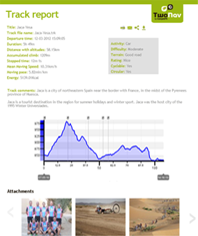
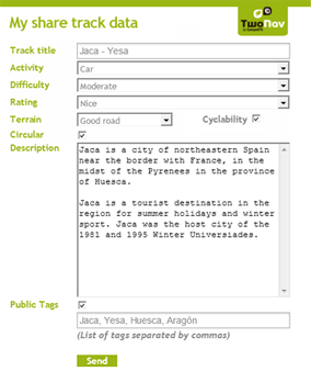
•Track report template: Set the default template design that Land will use to create track reports.
|
| |
|
| |
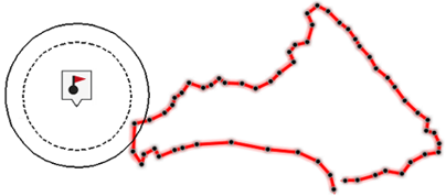
•Distance to assimilate waypoint: Fix a distance to consider a waypoint as near the track. When a waypoint is close enough to a track you can convert it to track point by dragging it to the track.
|
|
|
|