Advanced operations that can be perfomed on maps:
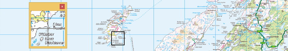
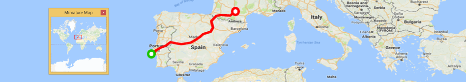
•Miniature map: A window will open with a general view of all the open elements (maps/waypoints/routes).
|
|
•Magnifying window: Open a window and zoom in on the location the pointer is indicating.
|
|
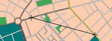
•Measure the distance between two points on a map: Measure the distance between two points on a map (if no ending point is defined, Land will measure the distance between the starting point and the current position of the mouse).
|
|
|
|
|
Distance 1.2 km |
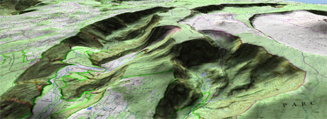
•2D shaded relief: Relief will be displayed in a clearer and attractive way, as it features shadow simulations enhancing thus the variations of the ground.
|
|
|
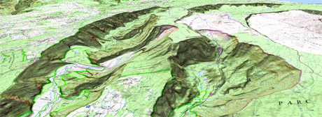
•3D shaded relief: Relief will be displayed in a clearer and attractive way, as it features shadow simulations enhancing thus the variations of the ground.
|
|
|
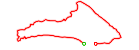
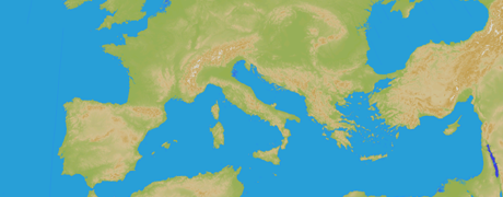
•View map projection grid: Show/Hide UTM projection grid at map window.
|
|
|
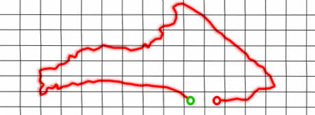
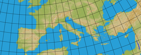
•View map degrees grid: Show/Hide latitude/longitude projection grid at map window.
|
|
|
•View map tiles layout: A grid displaying the layout of a mosaic map (*.RTMAP) will be shown.
|
|
|