Land offers you the capacity to download all kinds of free tracks located on external Internet servers. This is access to different on-line vendors that will allow you to download tracks for whatever area you want. Follow these steps to open and work with on-line tracks:
1. In the map window, center the map in the area where you want to get a list of available elements.
|
|
|
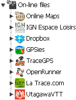
2. Click on 'Data tree> On-line files' and select any of the suppliers, depending on what you want to download. In this space you will find different suppliers, most of them (GPSies, TraceGPS, OpenRunner, LaTrace, Utagawa...) are open providers and give access to their databases, with thousands of tracks available.
|
|
‘On-line files’ also gives you access to personal online storage services (Dropbox, IGN Espace Loisirs...) that require identification and allow you access to tracks that we have previously saved on those servers.
3. Land will start looking for available tracks near that position.
|
|
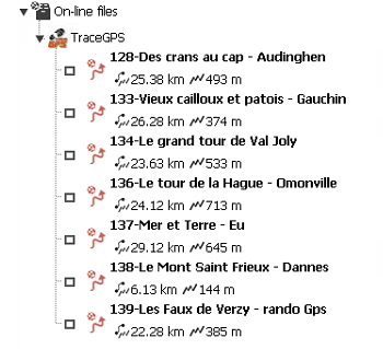
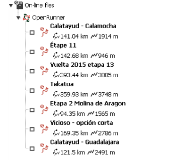
4. If an element near your position is found, a list will open with tracks available for the selected area. In it you will see the basic data on the items found in the 2nd line right after the item’s name.
|
|
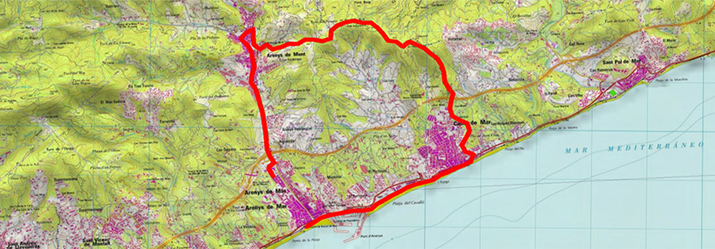
5. Select the track you want, download it by double-clicking on it, and, once downloaded, the item will be available in 'Data tree > Open files'.
NOTE: Land also has an external access to the provider Wikiloc.com. The 'Wikiloc.com' button on the bar will open an external browser with Land's current coordinates. In this case it will not carry out a direct download within Land, but rather a simple Internet download. You will be able to open the file, easily downloaded on Land, like any other track.