Distance
1.2 km
Advanced operations that can be perfomed on maps:
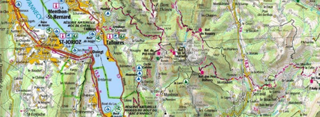
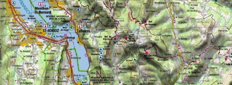
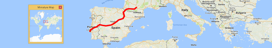
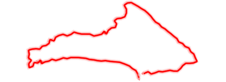
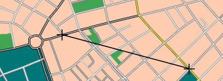
•Measure the distance between two or more points on a map:
|
|
|
|
|
Distance 1.2 km |
1. At the toolbar, click 'Distance measurement'.
2. Mark the starting point on the map. If no ending point is defined, Land will measure the distance between the starting point and the current position of the mouse.
3. Next, mark another point on the map and so on. Land will update the total distance as you mark more points.
NOTE: From the vector editor you can move the created points to another location, delete them, or even create the freehand path
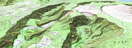
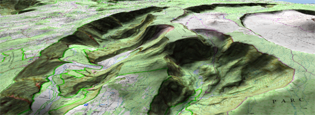
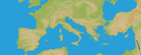
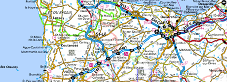
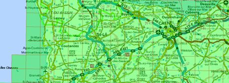
•2D/3D shaded relief: Relief will be displayed in a clearer and attractive way, as it features shadow simulations enhancing thus the variations of the ground.
|
|
|
|
|
|
1. On the main menu, press 'File > Preferences > View > Relief’.
2. Choose the type of shading on your maps.
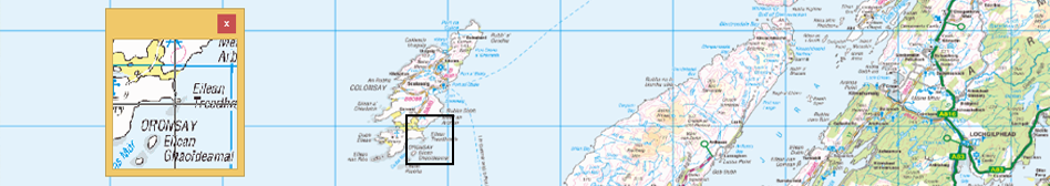
•Miniature map: A window will open with a general view of all the open elements (maps/waypoints/routes).
|
|
1. On the main menu, press 'Window’.
2. Select ‘Show miniature Map’.
•Magnifying window: Open a window and zoom in on the location the pointer is indicating.
|
|
1. On the main menu, press 'Window’.
2. Select ‘Show magnifying window’.
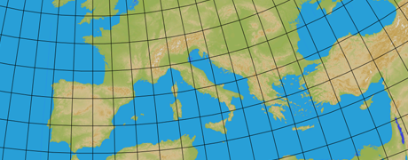
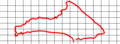
•View map degrees/projection grid: Show/Hide latitude/longitude or UTM projection grid at map window.
|
|
|
|
|
|
1. On the main menu, press 'File > Preferences > View > Grids'.
2. Choose the type of grid you want to use in Land..
•View map tiles layout: A grid displaying the layout of a mosaic map (*.RTMAP) will be shown.
|
|
|
1. On the main menu, press ‘View’.
2. Select ‘Tiles layout’.