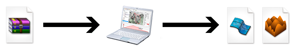
Some maps and 3D reliefs may not be directly compatible with Land because of their calibration, information may be missing to fully open the map or the 3D relief (some formats do not specify their projection, datum or coordinates system). In order to correct these errors and import the map or 3D reliefs, proceed as follows:
1. Select ‘Main menu > Maps > Import maps’ or ‘Main menu > Maps > Import 3D relief’.
2. Select the drawing of the map that you want to open.
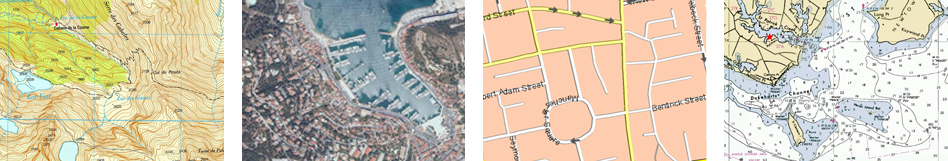
Land allows you to open the following map formats:
|
|
|
|
|
|
|
|
|
|
|
|
|
|
|
|
|
|
|
|
|
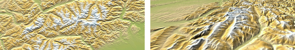
Land allows you to open the following 3D reliefs formats:
|
|
|
|
|
|
3. Check all the default information included in your map. Modify any information that you want to change. Once modified, the newly imported map will contain this new information:
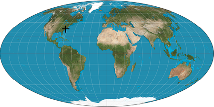
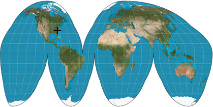
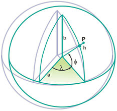
•Projection: All maps are approximate representations of the surface of the earth on a flat surface. The creation of any map uses a method that associates each point on the earth’s surface with a point drawn on a map. Different types of cartographic systems are used to make this association. There are several different types of cartographic projection that are classified depending on the areas they cover. Choose the most suitable projection for the map that you are working with:
|
| |||
|
|
| ||
|
| |||
|
UTM |
Lat./Lon. |
Mercator | |
|
Albers |
BGN |
Lambert | |
•Datum: Datums are used to translate the positions of elements (waypoints/routes) to the exact position on the earth. Datum systems are needed because the earth is an imperfect ellipsoid. Choose the most suitable datum for the map that you are working with:
|
| ||
|
|
Datum A |
NAD83 |
|
Datum B |
ED50 | |
|
WGS84 |
NAD27 | |
|
OSGB36 |
PSAD56 | |
•Advanced unit options: Choose the units that you use to write the deviation of the location of the map on the X, Y and Z axels:
|
| ||
|
km |
m |
ft |
|
fm |
mi |
nm |
4. Assign a name for the newly imported map and save it.
5. Once stored, you will be able to start working with the new map.