Functions accessible from: 'Main menu > File > Preferences > 3D > General'
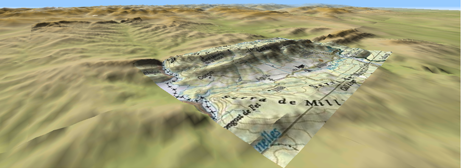
Land offers a three dimensional visualization mode that can be fully customized in order to have the most adequate perspective in each moment:
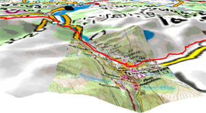
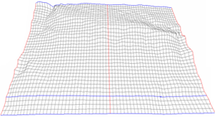
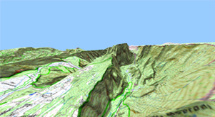
•3D quality: Customize the depth of the 3D quality from a list of different degrees.
|
|
|
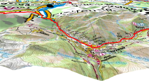
•Maximum tiles to show: Set the maximum number of map tiles to display (the higher number of tiles displayed, the slower will load).
|
|
|
|
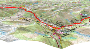
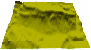
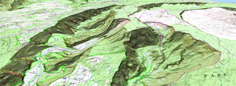
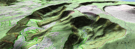
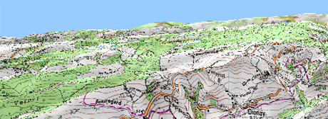
•Altitude exaggeration: Multiplies the altitude of the relief to make a clearer effect in 3D.
|
|
|
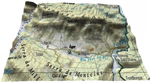
•Rendering mode: When using 3D view, display the rendering of maps according to your needs.
|
|
|
|
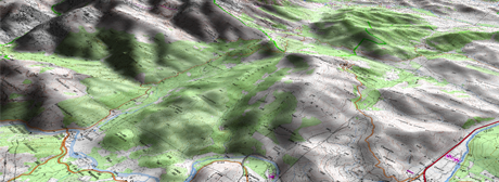
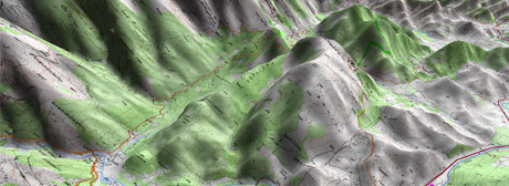
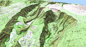
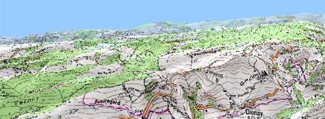
•Shading: Relief will be displayed in a clearer and attractive way, as it features shadow simulations enhancing thus the variations of the ground.
|
|
|
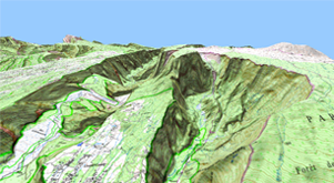
•Field of vision: Determines the angle from which the map will be seen. When introducing angles over 60º, it will simulate a camera with wide lenses.
|
|
|
|
•Foggy horizon: The furthest part to the perspective becomes faded, creating a misty effect between the sky and the map that helps to distinguish them more clearly.
|
|
|
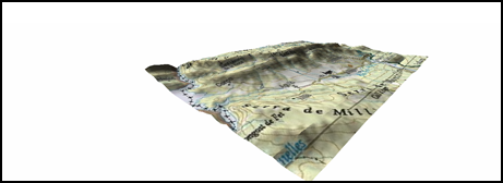
•Search for a relief when starting 3D view: When 3D view is enabled, Land will automatically open a relief map.
|
|
|
•Sea level: Fix the current value of the sea level to represent situations where the height is under the sea level.