Functions accessible from: 'Main menu > File > Preferences > View > Relief'
Land may use elevation maps (grids with height information) to assign altitude data on maps/waypoints/routes and then be able to display then dimensionally.
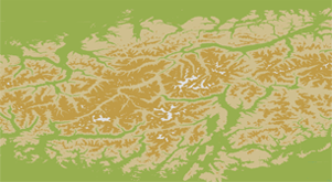
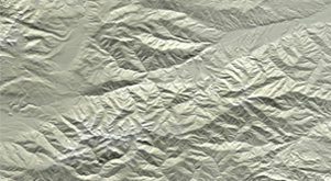
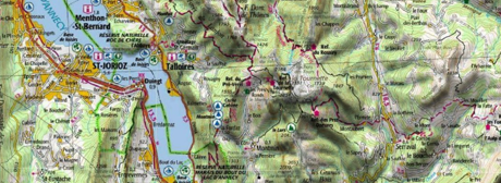
•Draw relief: 2D maps can display relief shadows.
|
|
|
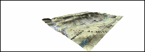
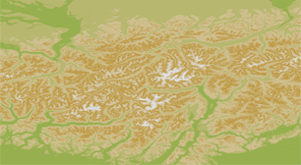
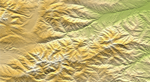
•Draw relief in 3D view even if raster map is loaded: If 3D view is enabled, relief map will be displayed together with the rest of raster maps.
|
|
|
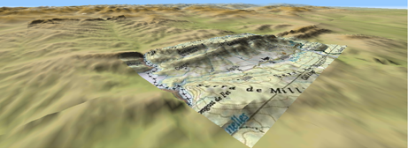
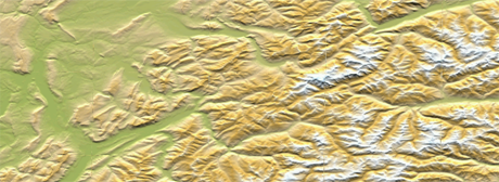
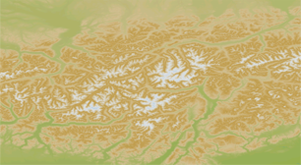
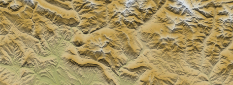
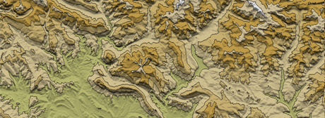
•Draw relief with shadow: Relief will be displayed in a clearer and attractive way, as it features shadow simulations enhancing thus the variations of the ground.
|
|
|
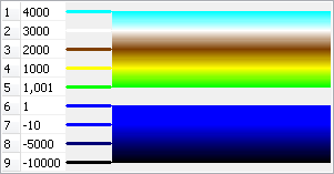
•Flat color steps: Instead of using a fading color, just one plain color for each height interval will be used.
|
|
|
|
•Draw level lines: Altitude lines are drawn.
|
|
|
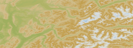
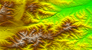
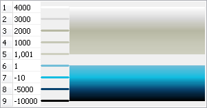
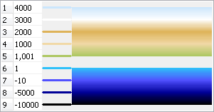
•Relief colors: Select between different hypsometric colors to display your maps: high contrast colors, low contrast colors, default palette of colors…
|
|
|
|
•Customize: Define the color and the height intervals that will be displayed in relief maps.
|
|
|
|