|
|
|
|
|
|
|
|
|
|
|
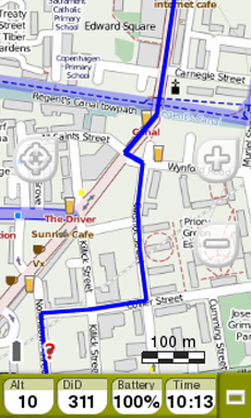
HIDDEN DATA BAR |
FIELDS BAR |
GRAPH BAR | |
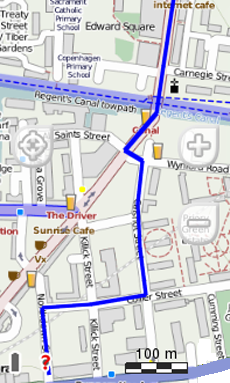
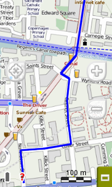
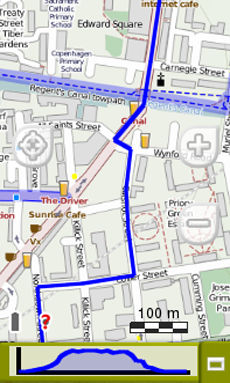
By default, data bar shows a few relevant data fields. Additionally, when navigating a route/track, it has an extra state which shows altitude profile.
Press the button at the right side to switch between different status:
|
|
|
|
|
|
|
|
|
|
|
HIDDEN DATA BAR |
FIELDS BAR |
GRAPH BAR | |
The data fields contained in the data bar can be configured from ‘Main menu > Settings > Fields & Buttons > Data fields’. You can also change a concrete data field by opening the contextual menu on it.

NOTE: Access to the main menu directly by clicking on the data bar.
Additional functions on map window can be configured from ‘Main menu > Settings > Fields & Buttons > Map page’.
•Info Current: Information related to present position.
•Default:
•‘Off-Road’ mode: Compass
•‘On-Road’ mode: Current street
•Inside waypoint radius: Waypoint name (if waypoint has associated files, click the clip icon to reproduce them).

•Next Event: Information related to the next position (direction and distance). GOTO arrow shows direction of the following section of the track. This parameter is the distance to calculate tangent to give direction. Take the direction of this arrow as a reference to keep going your way.

•Info Next: Information related to next events (not shown if no destination is selected).
•‘Off-Road’ mode: Name of the next waypoint (if waypoint has description, it will be shown after the name).
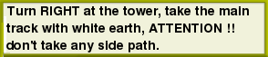
•‘On-Road’ mode: Next street (some roads have information about signposts. If this information is available ‘Info Next’ will show a reproduction of the real signpost).
‘Info Next’ can be displayed in several states:
|
|
|