|
|
|
|
|
|
|
|
|
|
|
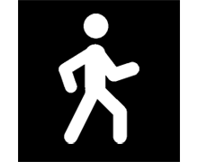
PEDESTRIAN |
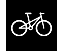
BIKE |
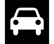
CAR |
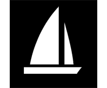
BOAT |
Before you start navigating, it is very important to set your vehicle so the system configuration and calculations will be adapted according to the selected vehicle:
|
|
|
|
|
|
|
|
|
|
|
PEDESTRIAN |
BIKE |
CAR |
BOAT |
By setting your vehicle, some parameters as well as aspects of the navigation may vary: restrictions on route calculation, street directions, cruise speed, expected average speed, minimum moving speed, content of function ‘Hint’…
The color of the icon indicating your current position will change according to the selected vehicle. Change pointer settings from ‘Main menu > Settings > Display > Pointer’.
IMPORTANT: Since marine navigation has special needs comparing to terrestrial navigation, when ‘Boat’ vehicle is selected some special changes (in addition to normal changes related to vehicle) will take place: different interface theme, marine units, specific menu to select the final destination, specific data fields in data bar and data pages, specific tool bar, function ‘Man Over board’ available from the tool bar, marine charts are loaded if present (only if ‘Automaps’ function is enabled)… ‘On-Road’ navigation has no sense in ‘Boat’, so ‘Off-Road’ mode will be automatically enabled when ‘Boat’ is selected.