|
| |
|
|
|
|
| |
|
|
|
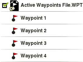
The waypoint is a point defined by a geographical position, latitude and longitude coordinates and in most cases altitude, used by the GPS navigation tools. Waypoints are represented on screen as points with name or representative icon.
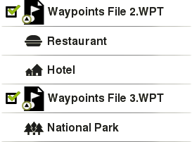
The waypoints are kept inside Waypoints Files (usually in *.WPT format), so a Waypoints File may contain one or more waypoints. You can have several waypoints files opened, but created waypoints will be always saved inside an Active Waypoints File (AWF).
|
| |
|
|
|
By default, the Active Waypoints File is called ‘Waypoints.WPT’, but you can set as Active Waypoints File any other file (marked with an asterisk): select ‘Set as active waypoint’ option. When a new waypoints file is created, it will be automatically set as active.
NOTE: Full customization of Active Waypoints Files can be check at: ‘Main menu > Settings > Full settings > Advanced > Active waypoints mode’.
See your list of available waypoints from ‘Main menu > Files > Waypoints’ (all waypoints available at ‘TwoNavData/Data’). TwoNav can open the following waypoint formats:
|
|
|
|
|
|
|
|
|