|
|
|
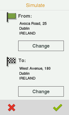
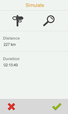
See a representation of your itinerary before starting the navigation. Choose your type of simulation according to your needs:
•A à B (only in on-road navigation): Proposed route will to go from point A to point B. From ‘Main menu > Zoom to > Simulate’, choose two points (waypoint/POI/address/favourites/…).
|
|
|
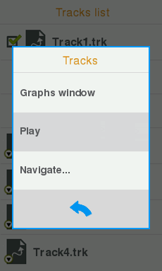
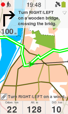
•Reproduce track: Animation of the itinerary will be displayed. During the animation, the simulated position will become the prevailing one instead of your current position, position will be centred on it and the statistics will be related to it. Do a track simulation from:
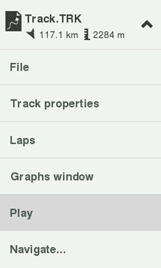
•List of tracks: Open the contextual menu on the track that you want to simulate and press ‘Play’.
•Map window: Find the track that you want to simulate, open the ‘Pin’ mode and press ‘Play’.
|
|
|
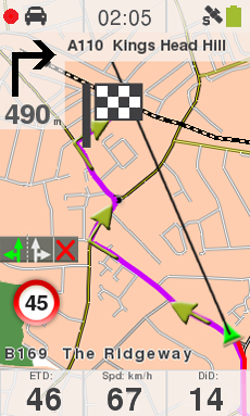
With the simulation on, the simulated position will be displayed with a different icon to distinguish it from your current position. At the same time, some tools to manage the simulation will appear at the tool bar:

•Pause: Pause function. Press it again to resume the simulation.
•FF/RW: Accelerate the simulation. Press it again to apply normal speed.
•FF to next/RW to previous: Jump to next/previous event.
•Stop: Stop the simulation (‘Tool bar > Stop simulation’).