ABCDEF
AZERTY
QWERTY
‘Advanced’ enables extra functions that are not frequently used and could add unnecessary complexity to the application system:
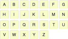
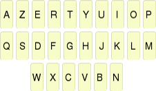
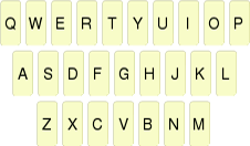
•Keyboard: Set the layout of the application keyboard.
|
|
|
|
|
|
|
|
|
ABCDEF |
AZERTY |
QWERTY |
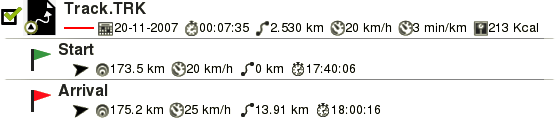
•Information in waypoints/tracks list: Display more information for listed elements. Extra information will be presented in a 2nd line right after the name of the item. Select the data fields that you want to display.
|
|
|
|
| |
•Active waypoints mode: Set working mode for Active Waypoints Files:
•Basic: Fixed Active Waypoint File + autoload it at start.
•Advanced: First waypoint opened will be the active and it will not be autoloaded at start.
•Click on Next Event: Set the default destination when pressing ‘Next Event’ function.
|
|
|
|
| |
•Reload data when restarting: TwoNav loads you the same data which was already opened last time application was closed.
•ONLY ANT+™ DEVICES: Activate sensors at start
|
|
|
|
| |
•Pop up for alarms: Fix the duration of the pop up window alarm.
|
|
|
|
| |
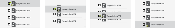
•Animated data tree: When managing elements of any list, TwoNav displays an animation effect to easily see in which elements are you working on.
|
|
|
|
| |
•Draw map corners: TwoNav draws on the map window the frames for all loaded maps.
|
|
|
•Background color: Set the background color of the main window according to your preferences.
|
|
|
•Lines in Info Next: Enter how many lines will be displayed in ‘Info Next’ function.
|
|
|
|
|
|
•Zoom with double click
•Permanent zoom click
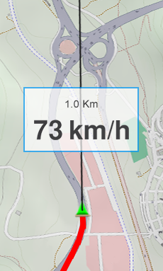
•Lane information (only on-road navigation): In roads with several lanes, TwoNav will inform you about which is the correct lane to take.
|
|
|
|
| |
•Anti-aliasing: Draw smoother lines in vectorial maps (*.VMAP).
|
|
|
•Static navigation: The chip of the GPS has a minimum speed value to consider movement. Speeds under this value will not be considered movement. This value is set by default, it cannot be modified by you.
•Minimum accumulated altitude: Fixes the minimum altitude to be considered increase of altitude. Altitudes under this value will not be considered increase.
|
|
| |||
|
Minimum accumulated altitude: 5 m |
Current altitude: 4.7 m |
à |
Increase considered: 0 m | |
|
Current altitude: 5.2 m |
à |
Increase considered: 5.2 m | ||
•Minimum moving speed: Set the minimum speed value to consider movement. Speeds under this value will not be considered movement. This value is set by you.
|
|
| |||
|
Minimum moving speed: 0.8 km/h |
Current speed: 0.5 km/h |
à |
Increase considered: 0 km/h | |
|
Current speed: 1.4 km/h |
à |
Increase considered: 1.4 km/h | ||
•Screenshot creates waypoint: A waypoint with an associated image is created each time a screenshot is made. Picture is saved at ‘TwoNavData/Data’.
|
|
|
|
| |
•Animation pointer: Icon that displays your current position on the map when simulating any itinerary.
|
|
|
|
| |
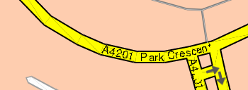
•GOTO arrow tangent at: GOTO arrow displays direction of the following section of the track. Enter here the distance to calculate tangent to provide the direction.
•Exit waypoint after: If a track/route contains waypoints, navigation will switch to next waypoint when leaving the current one. Enter here the parameter which determines how far from the waypoint you have to go to exit it.
|
|
|
|
| |
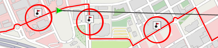
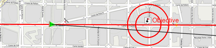
•Objective reached at: Minimum distance to consider that you have reached your objective.
|
|
|
|
| |