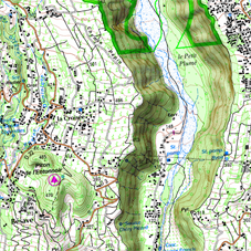
2D
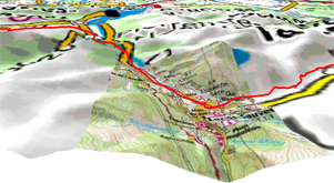
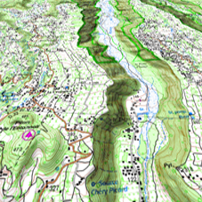
3D FLAT
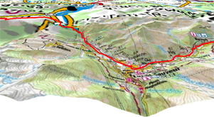
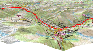
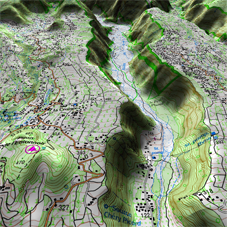
3D+
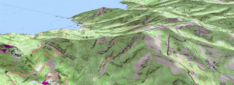
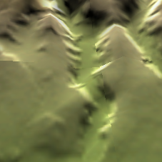
3D+ RELIEF
|
| |||
|
|
|
|
|
|
|
|
|
|
|
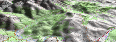
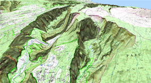
2D |
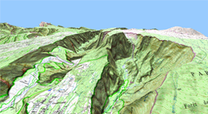
3D FLAT |
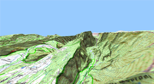
3D+ |
3D+ RELIEF |
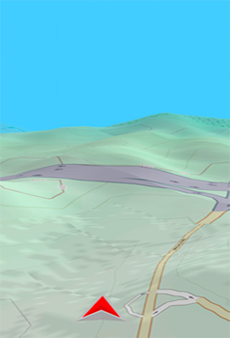
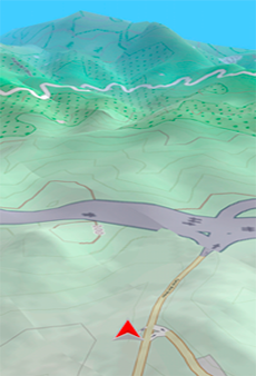
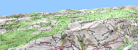
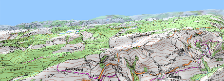
TwoNav offers three visualizing modes so you have the most adequate perspective in each moment.
•‘2D’ mode: Zenith plan.
•‘3D’ mode: Trimensional flat image with a perspective.
•‘3D+’ mode: Holography of the terrain in real 3D (vectorial maps will not be displayed in 3D+). This mode can only be displayed if you load:
•3D relief map (*.CDEM)
•Raster map (normally *.RMAP or *.ECW)
IMPORTANT: Press ‘2D > 3D > 3D+’ button at the tool bar to switch between viewing modes.
•Map 2D/3D: Choose the visualizing mode that TwoNav will use to display maps at main window:
•‘2D’
•‘3D’ flat
•‘3D’ with relief
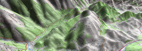
•Altitude exaggeration: Multiplies the altitude of the relief to make a clearer effect in 3D+.
|
|
|
•Shading: Relief will be displayed in a clearer and attractive way, as it features shadow simulations enhancing thus the variations of the ground. This option is only effective on the 3D+.
|
|
|
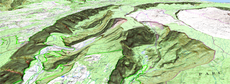
•Field of vision: Determines the angle from which the map will be seen. When introducing angles over 60º, it will simulate a camera with wide lenses.
|
|
|
|
•Automatic inclination: Map perspective will change in real time depending on device's inclination. In order to use this function, 3D+ has to be enabled.
|
| |||
|
•Foggy horizon: The furthest part to the perspective becomes faded, creating a misty effect between the sky and the map that helps to distinguish them more clearly.
|
|
|
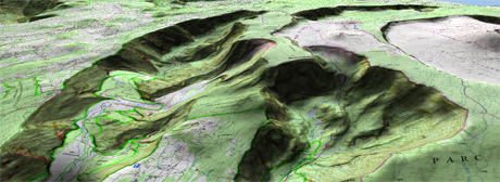
•3D quality: Customize the depth of the 3D quality from a list of different degrees.
|
|
|
•Maximum tiles to show: Set the maximum number of map tiles to display (the higher number of tiles displayed, the slower will load).
|
|
|
|
•Sea level: Fix the current value of the sea level to represent situations where the height is under the sea level.