TwoNav may use elevation maps (grids with height information) to assign altitude data on maps/tracks/waypoints/routes and then be able to display then dimensionally.
•Draw relief: Enable/Disable this function.
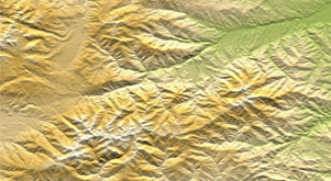
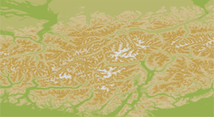
•2D shaded relief: 2D maps can display relief shadows.
|
|
|
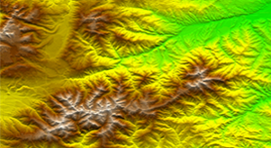
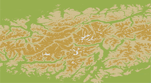
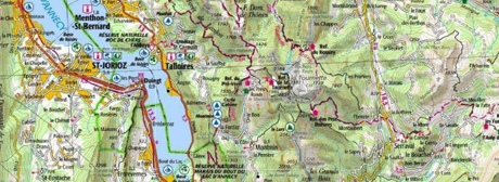
•Relief colors: Select between different hypsometric colors to display your maps: high contrast colors, low contrast colors, default palette of colors…
|
|
|
|
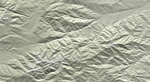
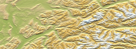
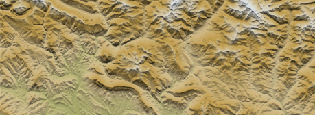
•Draw landscape with shadow: This visual option makes the relief drawing more attractive.
|
|
|
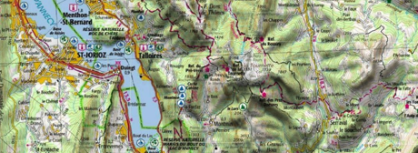
•Flat color steps: Instead of using a fading color, just one plain color for each height interval will be used.
|
|
|
|
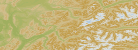
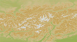
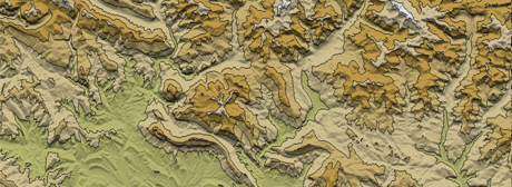
•Draw level lines: Altitude lines are drawn.
|
|
|