TwoNav offers you different ways to determine the altitude value you are taking during your navigations:
• GPS: Altitude data from the GPS will be used.
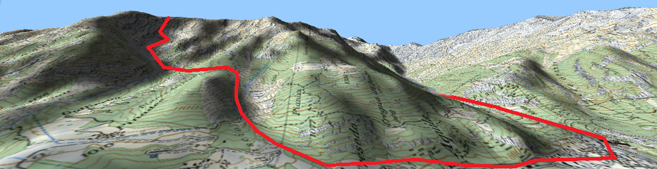
• CDEM (Altitude map): Current altitude of the 3D relief map (3D relief map must be loaded).