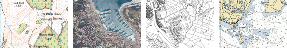
Raster
|
|
Raster |
Maps digitally calibrated based on bitmap images (if map is scaled, there will be loss of clarity, the quality of the map will degrade).
|
|
|
Topographic: Maps containing information related to the relief of the terrain (elevation contour lines, pathways, national parks…).
Orthophoto: Maps containing aerial photographs with information related to all elements included in the landscape (fields, lakes, roads, buildings, national parks…).
Cadastre: Maps containing information related to limits of all terrain parcels (fields, roads, buildings…).
Marine chart: Maps containing nautical information related to the sea (depth data, ports, marine services, tides, currents, marine wrecks…). |
|
|
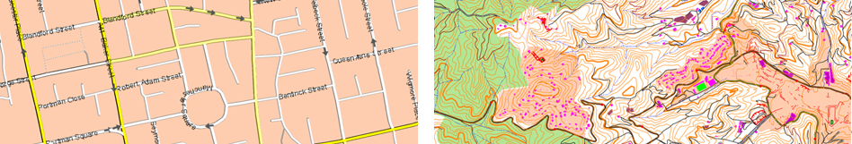
Vectorial |
Maps digitally calibrated based on vectors (if map is scaled, there will be no loss of clarity, the quality of the map will not degrade).
|
|
|
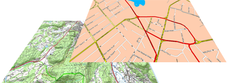
Urban: Maps containing information related to roads and streets (names of the streets, street directions, points of interest…).
Topographic: Maps containing information related to the relief of the terrain (elevation contour lines, pathways, national parks…). |
|
|
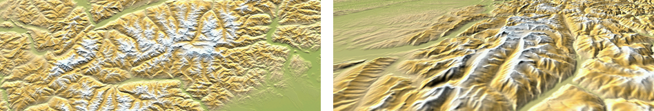
3D reliefs |
Maps digitally calibrated based on elevation reliefs containing information related to the altitude of the ground. With a relief map loaded you may display your maps in 3D+ mode.
|
|
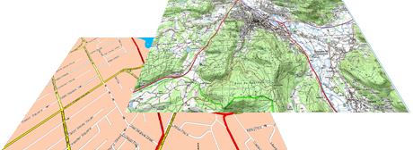
By default, the device opens the best map based on your current position automatically. If you prefer to manage your maps manually, disable the ‘Auto-open maps’ function from ‘Main menu > Settings > Activity profiles > Map view > Automaps’.
You can load more than one map at the same time, but if you have two maps for the same area displayed on the interface, one of them can be displayed at the top by superposition, select the map you wish to be placed at the top/bottom.
|
|
|
See your list of available maps from ‘Main menu > Maps’. The device will store maps in the default folder:
•GPS: ‘TwoNavData/Maps’
Your device can open the following map formats:
|
|
|
|
|
|
|
|
IMPORTANT: Some maps are protected against illegitimate copies. In such situations you must enter a registration code to use the map.