|
|
|
|
|
Land classifies courses into two types, depending on their use:
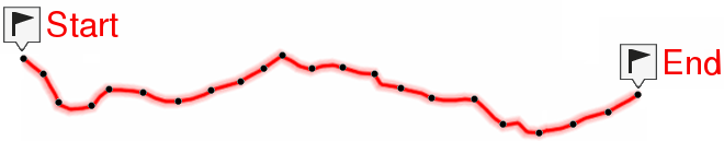
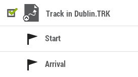
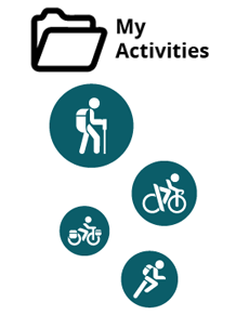
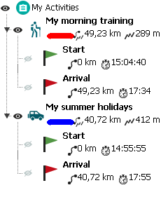
•My activities: Tracks recorded directly with your GPS. Displayed with an activity is the icon for the sport you had set on the device during the outing (hiking, mountain bike, road bike, trail running...). Check the list of activities available from ‘Data tree > My activities’.
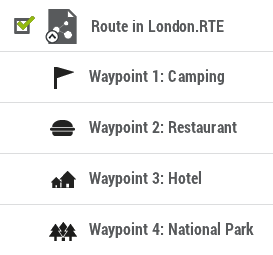
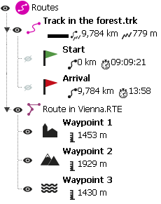
•Routes: Tracks obtained from other sources (recommended by a friend or downloaded from the internet). Check the list of routes available from ‘Data tree > Routes’.
Types of routes
There are different types of routes according to the activity being performed and the path to destination:
•Defined path routes: Routes highly detailed from start to end where the path to follow is drawn step by step. This type of route is commonly used in activities where you must follow an outlined itinerary without deviating (itineraries in the mountain, bicycle routes...). Generally, waypoints in the route are generated by a time interval.
|
|
|
|
|
|
|
|
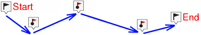
•Free path routes: Routes with no defined path based on reaching waypoints no matter which path is followed to reach these points. This type of route is commonly used in activities where is not possible to reach an objective directly (maritime navigation, aerial activities...). In these activities, the main objective is to reach the next point, being the user who decides what path to follow according to the circumstances, usually the shortest path.
|
|
|
|
|
|
|
|
Land can open the following route formats
|
|
|
|
|
|
|
|
|
|
|
|
|
|
|
|
|
|
|
|
IMPORTANT: If for some reason, an activity recorded by your GPS device appears under the category 'Routes', you can transfer it to 'My activities' by clicking 'Move to' My Activities ''. On the other side, press 'Remove from 'My Activities' if a route from other sources (not recorded by your GPS) appears in the category 'My Activities'.