
|
|
|
|
|
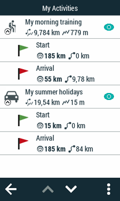
Your device classifies courses into two types, depending on their use:
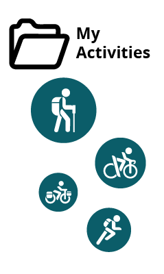
•My activities: Tracks recorded directly with your device. Displayed with an activity is the icon for the sport you had set on the device during the outing (hiking, mountain bike, road bike, trail running...). Check the list of activities available from ‘Main menu > My activities’. The device will record your activities in the default folder:
•GPS: ‘TwoNavData/Data/Tracklog’
•Routes: Tracks that have been been transferred to your device from other sources (recommended by a friend, downloaded from OS Maps or downloaded from the internet). Check the list of routes available from ‘Main menu > Routes’. The device will store routes in the default folder:
•GPS: ‘TwoNavData/Data’
There are different types of routes according to the activity being performed and the path to destination:
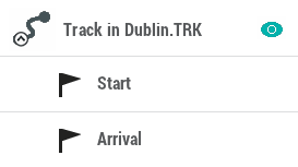
•Defined path routes: Routes highly detailed from start to end where the path to follow is drawn step by step. This type of route is commonly used in activities where you must follow an outlined itinerary without deviating (itineraries in the mountain, bicycle routes...). Generally, waypoints in the route are generated by a time interval.
|
|
|
|
|
|
|
|
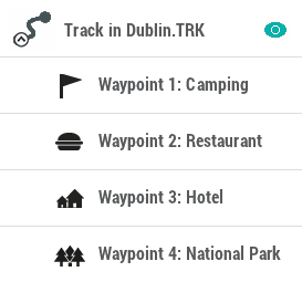
•Free path routes: Routes with no defined path based on reaching waypoints no matter which path is followed to reach these points. This type of route is commonly used in activities where is not possible to reach an objective directly (maritime navigation, aerial activities...). In these activities, the main objective is to reach the next point, being the user who decides what path to follow according to the circumstances, usually the shortest path.
|
|
|
|
|
|
|
|
Your device can open the following route formats:
|
|
|
|
|
|
|
|
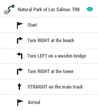
Enriched routes (e-Roadbooks)
A roadbook is a diagram tool commonly used by rally co-drivers and walkers that help them to navigate uncertain terrains. Traditional roadbooks contain several pages of information such as charts, GPS coordinates, written instructions, manoeuvres...
|
| |
|
| |
e-Roadbooks, contain all this information in digital format with no need to read indications in a book, your device will display all manoeuvres on the screen. Convert your excursions into a big challenges, or even turn them into a funny game in harmony with nature...